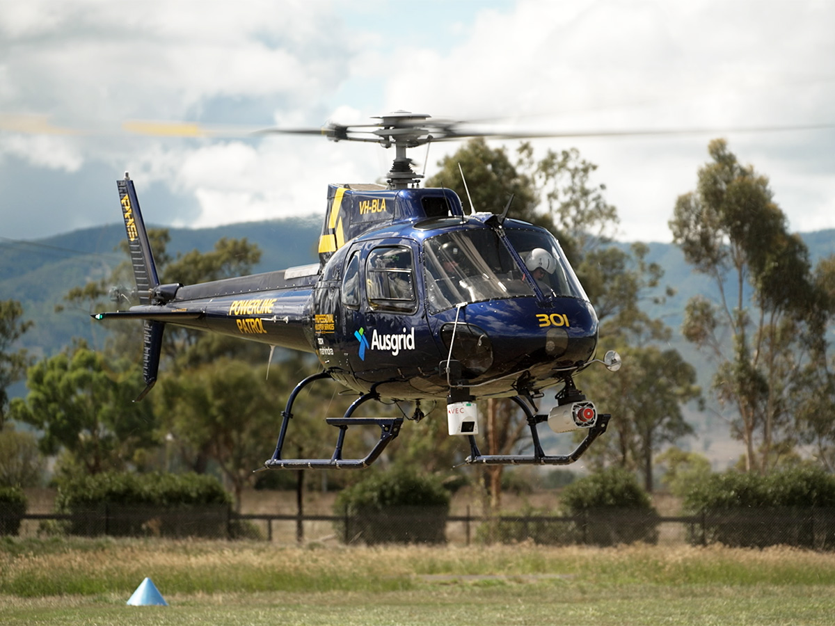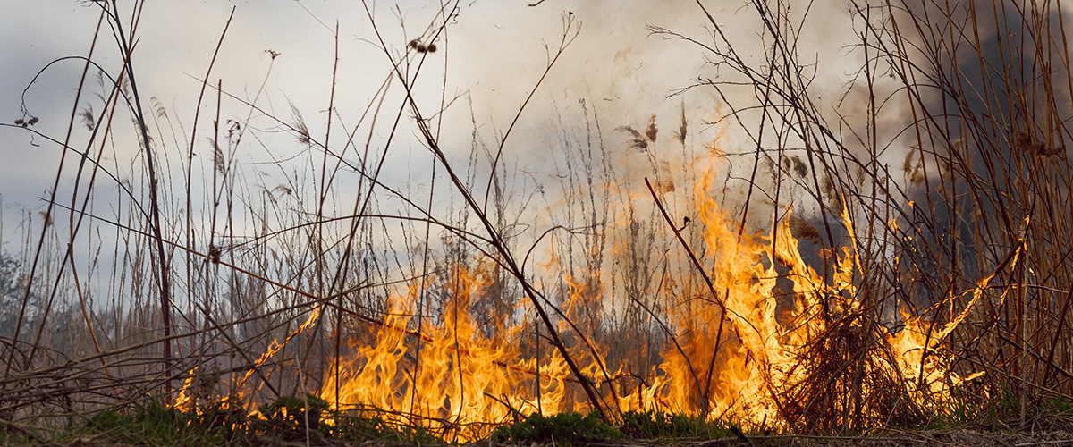
Drones enable us to view and access our network from an entirely different angle than helicopter patrols and ground inspections, helping reduce the risk of bushfires year-round.
How does Ausgrid use drones?
Drones are a useful tool for improving safety and data quality, whilst also reducing environmental impacts and noise.
Ausgrid uses drones for:
Information capture
- Obtaining information for our bushfire prevention and incident response programs in hard-to-reach areas
- Confirming systems are up to date with accurate positioning of our lines and cables
- Capturing information for pole and line integrity assessments
Conducting maintenance work
- Stringing guide lines
- Removing objects and untangling powerlines.
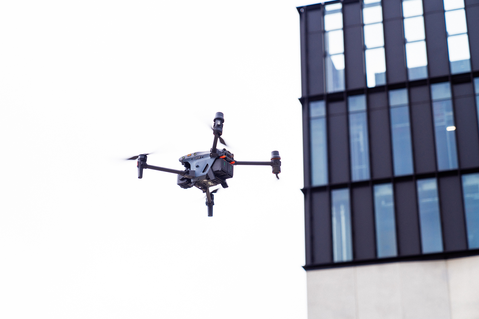
What types of drones do we use?
In residential areas, we typically use drones that weigh under 2kg. These drones generate very little noise compared to planes and helicopters.
Where these small drones aren’t capable of meeting operational requirements, we may use a variety of larger drones. For example, some of the drones we may use in the future have a wingspan of approximately 5m and a small engine which still generates less noise than the average Australian car.
Property owners should consider securing livestock during the patrols as drones need to fly low at times, which may startle livestock in rural areas.
What are we capturing?
Ausgrid uses drones to capture images of our poles and powerlines from the air. Drones are fast and efficient at this task, providing highly detailed, close-up imagery that cannot be obtained from the ground.