Informed by the Rural Fire Service and councils, we conduct survey work throughout the year in Bushfire Prone Land.
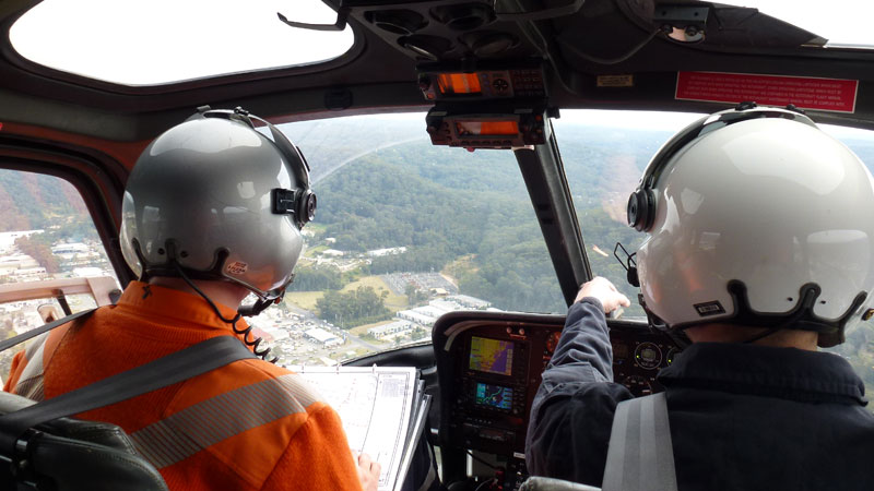
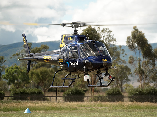
The aerial patrols begin at the end of the summer season to detect and fix issues before the next summer season begins.
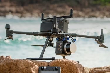
Helicopters inspect the electricity network using light detection and ranging (LiDAR) scanning and high-resolution photography to identify poles, equipment, and vegetation that may present a future bushfire risk. Identified safety defects are rectified as part of our Bushfire Risk Management Strategy.